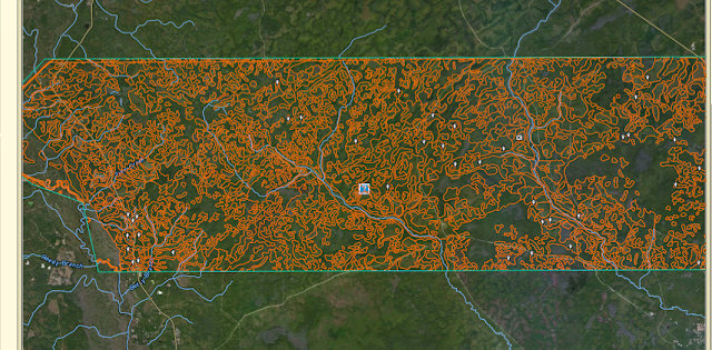
The process begins with describing an Area of Interest (AOI), which I decided upon the northern approximate 78,000 acres within the Apalachicola National Forest of Wakulla County, FL. For reference, below is a screenshot showing the AOI in northern Florida along the Gulf of Mexico. (NOTE: I did not intend to include any acreage outside of Wakulla County, however, when I drew my polygon, I mistakenly included 740 acres and 698 acres within neighboring Liberty and Leon Counties, respectively. Also, AOI's are limited to 100,000 acres or less.)

Once an AOI is defined, I was able to create soils maps by clicking on the Soil Map tab. Various soil types are identified within the AOI, along with their acres and percentages.

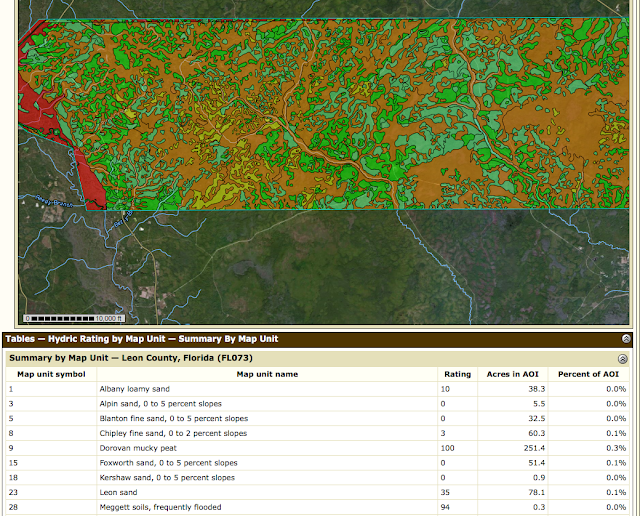
Various maps can then be created by selecting the Soil Data Explorer tab and selecting a variety of parameters by working through various options/tabs. As this was my 1st experience doing this, I kept it simple and created a map showing the Hydric Rating by Map Unit within the AOI (see below).

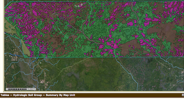
.....followed by Hydrologic Soil Groups

Since I am particularly interested in the Longleaf Pine Ecosystem, by clicking on the Ecological Site Assessment tab I was able to create a map identifying the dominant ecological site for each map unit, with each soil component being associated with an ecological site.
To my amazement, I was then able to generate a custom report by clicking on the Soils Report tab.....I did not realize I was so smart!!

In all seriousness, I've always been intimidated by those who could generate this type of data/maps/reports and dismissed consideration that I could ever do the same. I am looking forward to utilizing this FREE resource in the future and encourage anyone to get on the site and start exploring.
No comments:
Post a Comment